Quick summary
- Thrihnukagigur is a dormant volcano with a vast empty magma chamber. You hike to its crater, ride down into the vault, and walk on the chamber floor with a guide.[1][2][3]
- Most magma chambers stay sealed and full of rock. Here, a deep underground rift drained the molten rock after the last eruption, leaving behind a hollow cavity.[4]
- You cannot visit Thrihnukagigur independently. The practical ways to get to the volcano base are the guided tour hike or a helicopter tour.[1][5]
- The Inside the Volcano tour runs from May 5th to October 30th each year, so summer and early autumn are your windows for going inside.[1]
- The Reykjavik Thrihnukagigur guided hiking day trip is rated 4.85 from 630 reviews, with prices from US$432.[6]
- Top choice Thrihnukagigur Hike from US$432 Duration4 - 6 hours[6]Rating4.85 from 630 reviews[6]CancellationFree cancellation up to 24 hours in advance[6] Check availability
- Lava Tunnel by Bus from US$153 Duration3 hours[7]Rating4.59 from 850 reviews[7]CancellationFree cancellation up to 24 hours in advance[7] See this tour
- Reykjanes Eruption Hike from US$132 Duration9 hours[8]Rating4.65 from 1,154 reviews[8]CancellationFree cancellation up to 24 hours in advance[8] See this tour
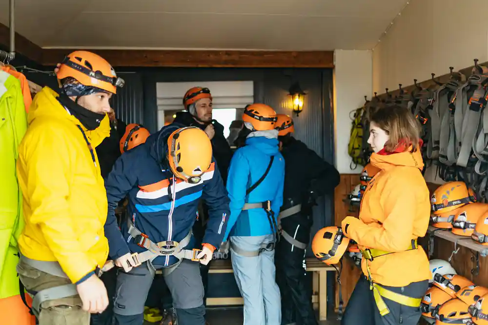
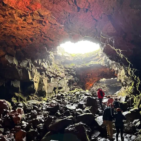
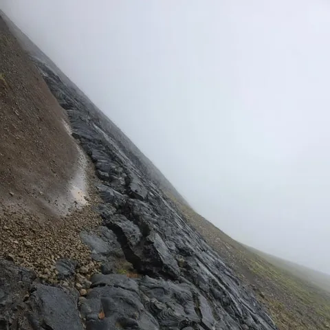
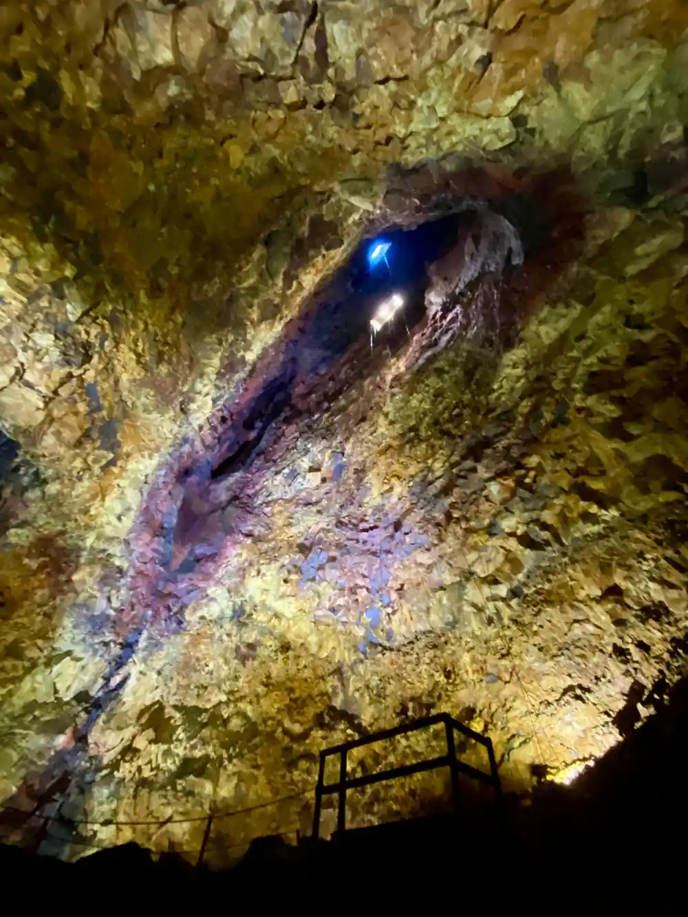
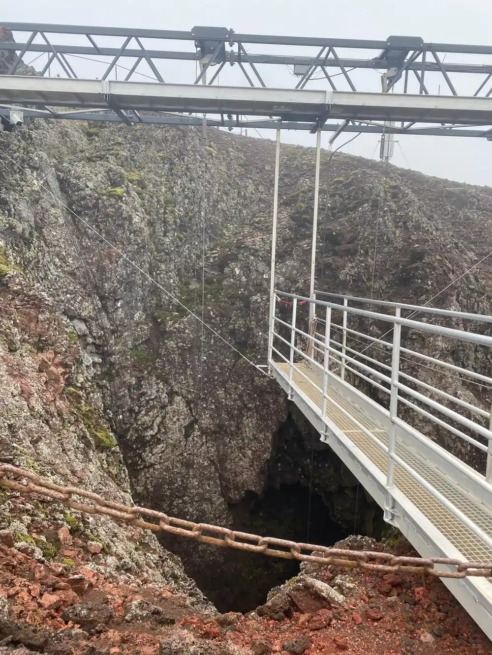
At the top of this cone is a funnel-shaped opening, about 4×4 m (12×12 ft) wide entrance of a huge 120 m (400 ft) deep, bottle-shaped volcanic vault. The bottom measures 50×70 m (160×220 ft).
Thrihnukagigur is not a peak to climb, it is a world to step into
Check before booking
Taking the name apart
Thrihnukagigur is an Icelandic place name that looks intimidating at first. It is made from words meaning peak, summit and crater, and in English the name is usually given as "three peak crater".[4] It is a fitting description of the volcanic cone, and the crater opening leads down into the chamber that has made the site famous.
The name is a reminder that Icelandic is a compounding language. Long words are often ordinary descriptions rather than unusual mysteries. Once you know what the pieces mean, the word becomes less intimidating and more like a small story written in the landscape.
The cone itself is not towering, but the empty space below it is what draws people across the lava field. From a distance the hill can look almost modest; up close, the opening in its side and the dark layers of volcanic rock hint at what waits underground.
How to say it
The best way to approach Thrihnukagigur is not to rush it. A useful English pronunciation is THRIN-hoo-kah-ki-gur, with the stress on the first syllable and a soft throaty sound at the end. Icelandic speakers may use a slightly different rhythm, but tour guides in Iceland are used to visitors attempting the name and they will happily help you get closer to it.
In practice, you will also hear the volcano called simply Thrihnukagigur on tour listings and in guide materials. The tour booked from this site is the Reykjavik Thrihnukagigur Volcano Guided Hiking Day Trip, so the name appears in booking details, pickup notes and itinerary documents. You do not need to master the pronunciation before you arrive, but trying it is part of the fun.
If the name still feels slippery, you are in good company. Guides hear attempted pronunciations all the time and tend to nod, smile and repeat it once or twice before carrying on. In a group setting, you will hear plenty of variations from other travellers, so there is no pressure to be perfect.
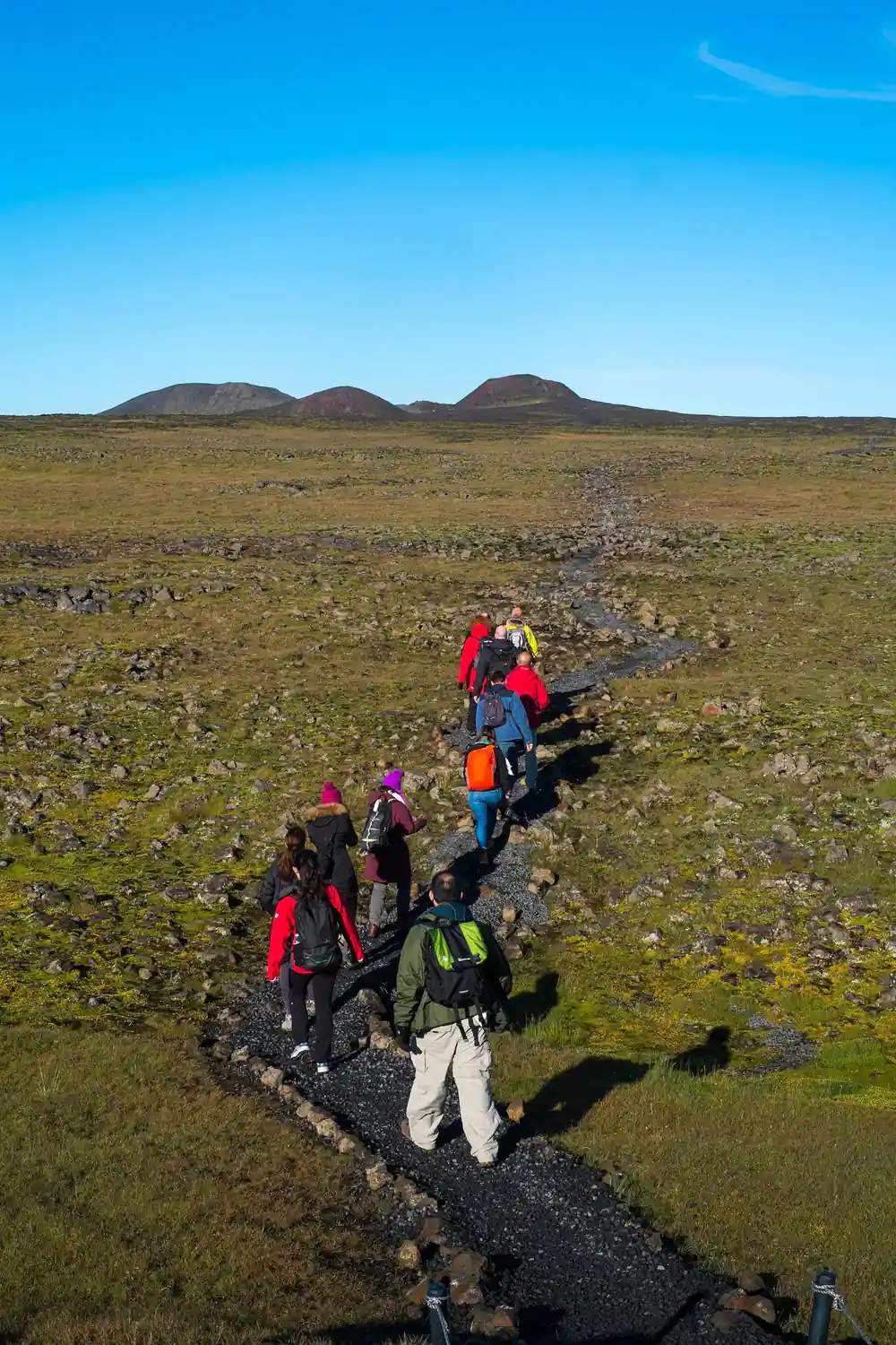
A guide leads a small group across the lava field towards Thrihnukagigur
What kind of volcano it is
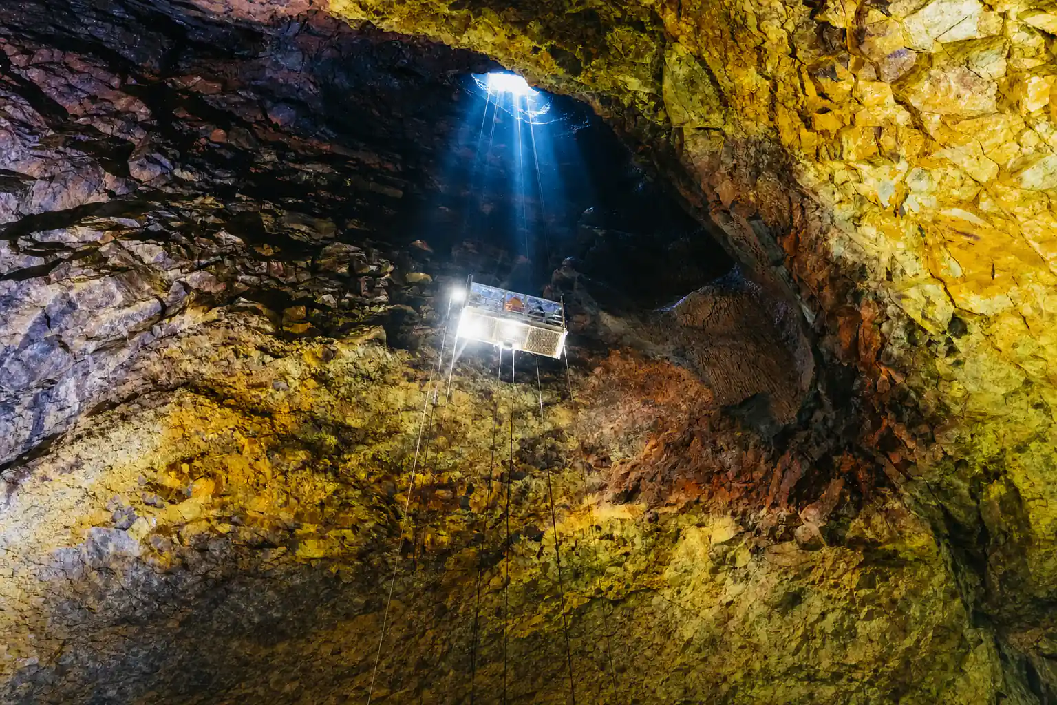
Thrihnukagigur is a dormant volcano whose last eruption took place about 4,500 years ago.[4] What makes it special is not the cone but the space beneath it. The eruption left behind a bottle-shaped volcanic vault about 120 m deep, with a bottom floor measuring 50×70 m.[4] At the entrance, a funnel-shaped opening leads down from the crater into this hollow chamber.
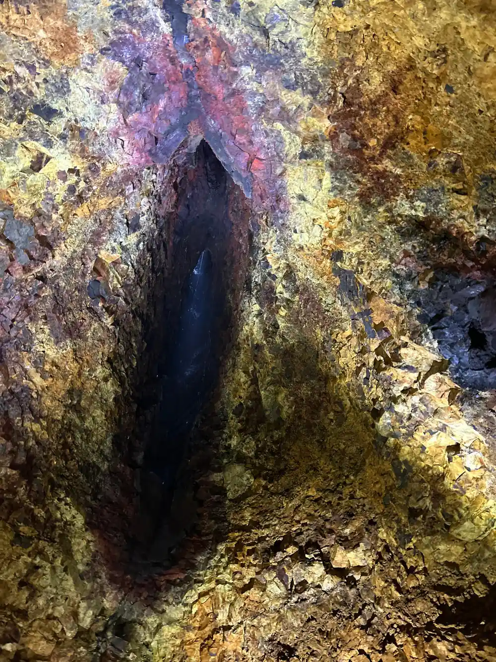
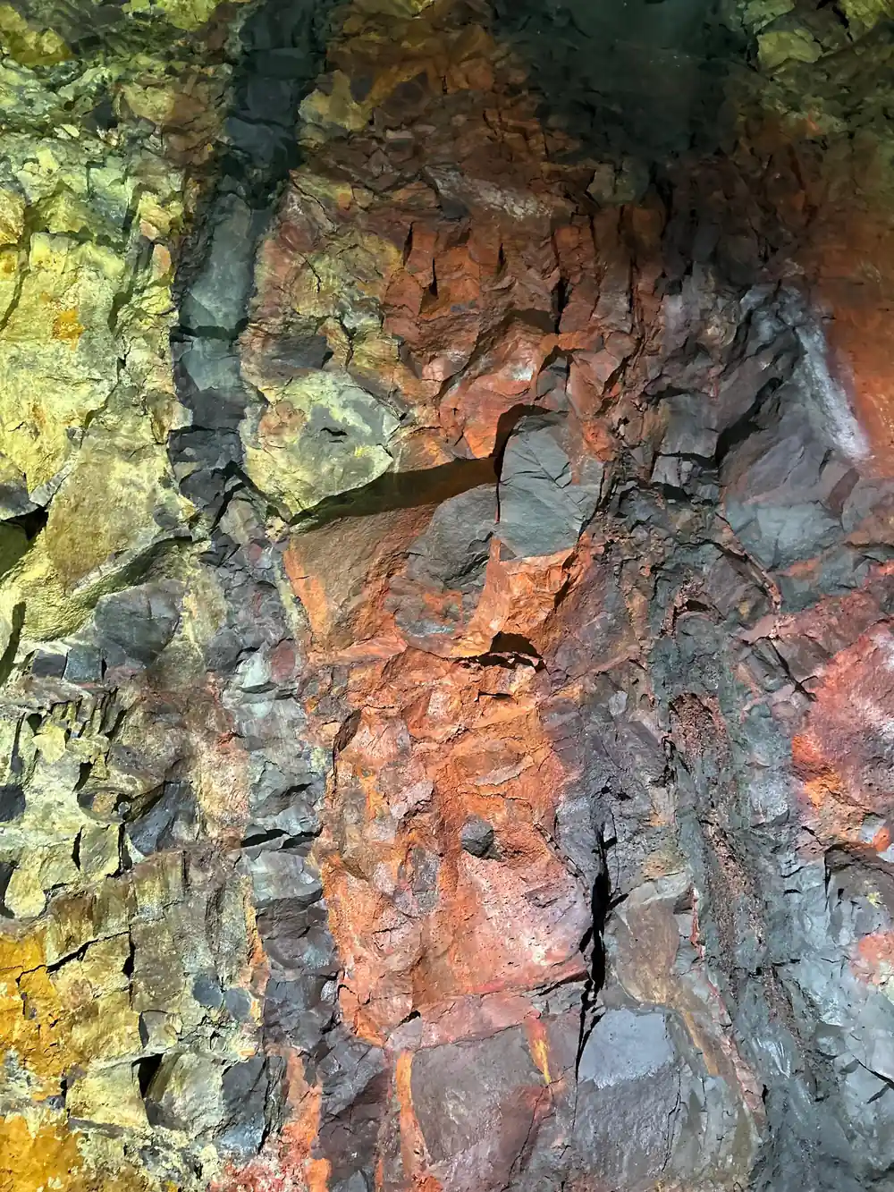
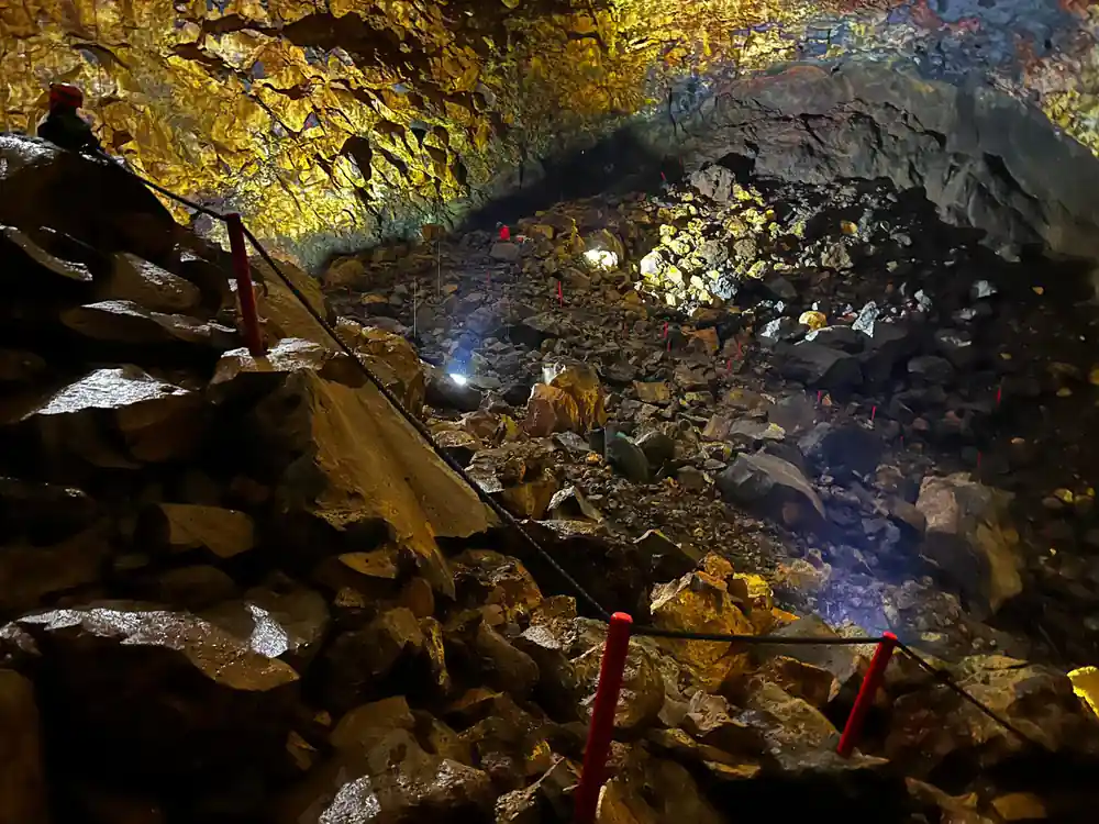
The reason the chamber is empty is unusual. It is believed that a deep underground rift drained the molten rock after the eruption, leaving behind an enormous cavity.[4] The walls are coloured by mineral deposits left by that last eruption, so when you stand on the floor of the chamber you are surrounded by layers of rock in reds, yellows, greens and black.[2] It looks less like a cave and more like a vast natural cathedral carved by heat.
When you first stand on the crater rim, the chamber below is not immediately obvious. The descent takes you out of the wind and into a still, quiet space where the sound changes and the walls glow with streaks of mineral colour. It is a strange, hushed sensation that photographs cannot quite capture.
The other spellings you will meet
Icelandic uses characters that do not exist in English, so you will see the volcano written in more than one way. The full Icelandic form uses the letter þ, as in Þríhnúkagígur, and this is common in Icelandic sources. Tour operators and international booking sites often simplify it to Thrihnukagigur, which is the version used on most English-language listings, including the one for the guided hiking day trip.
You may also come across variants such as Thrihnukagigur without accent marks or with the Icelandic spelling trimmed for search engines. When you are booking, it helps to know they all refer to the same place. The important thing is to match the tour, the pickup location and the dates, not to worry about the exact diacritics.
On a booking confirmation, the exact arrangement of letters matters less than the date, pickup option and cancellation policy. If you are ever unsure which volcano a listing refers to, the word Thrihnukagigur or Þríhnúkagígur will appear clearly, and the tour route will show the hike and descent. It is worth reading those details before you confirm.
from US$432
The guided day trip includes pickup options, a live guide in English and Icelandic, and free cancellation up to 24 hours in advance.[6]
Where it is, and why that matters
Thrihnukagigur lies in the Bláfjöll area, south-east of Reykjavik, in a landscape of lava fields and low mountains. The meeting point for the tour is at a ski cabin in Bláfjöll, and the drive from Reykjavik on paved road takes about 30 minutes.[9] From there, the tour continues on foot across the lava field to the volcano itself.
The location matters because it shapes the whole experience. You do not simply arrive at the crater and step inside. Instead, the hike to the volcano is an integral part of the tour, and it is one of only two ways to get to the base of the volcano, the other being a helicopter.[1][5] The walk crosses mossy lava and open terrain, giving you time to appreciate the setting before you descend.
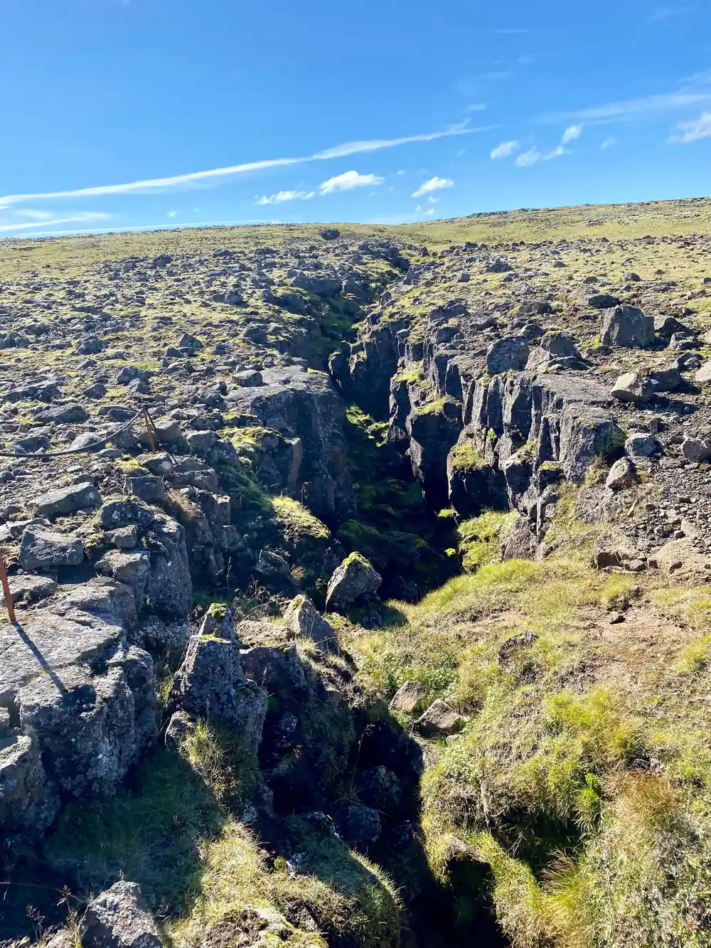
The approach on foot crosses ground that has been shaped by fire and ice, with mounds of lava rock and pale green moss filling the spaces between boulders. Underfoot, the path can be uneven, so watching the guide's footsteps helps. The open sky and quiet make the walk feel longer than its distance, in a good way.
Why anyone has heard of it
Thrihnukagigur is famous for a simple reason: you can descend into an empty volcanic magma chamber. Cave explorer Árni B. Stefánsson was the first person to enter it in 1974.[4] Today, visitors can ride down into the crater on a lift and walk around the chamber floor.
For many travellers, this is the closest they will ever come to the inside of a volcano. The descent is 120 meters, and the lift ride takes about 6 minutes.[2] Once underground, visitors spend roughly 35 to 45 minutes inside the chamber, including the descent, time on the floor and the ride back up.[3] No wonder it has become one of Iceland's most talked-about underground experiences.
Inside the chamber, the light is low and the scale is hard to take in. The walls rise around you in layered bands, and the minerals left by the old eruption give them a palette of reds, yellows and greens against dark rock.[2] Walking across the floor, you are surrounded by geology that usually stays hidden far beneath the surface.
What you need to know before you go
The tour operates every year from May 5th to October 30th, so it is a seasonal experience rather than a year-round attraction.[1] The guided hiking day trip from Reykjavik lasts 4 to 6 hours, includes pickup options from the city, and offers free cancellation up to 24 hours in advance.[6] The minimum age is 8 years old.[3]
Plan for a hike across uneven lava terrain before the descent, wear sturdy shoes and bring layers for wind and rain. The lava field is open and exposed, and Icelandic weather can change quickly. The reward is a guided visit into a natural space that feels both ancient and strangely welcoming, with the coloured mineral walls around you and the huge chamber opening overhead.[2]
Layered clothing is the simplest way to manage Iceland's changeable conditions. A warm base layer, a windproof shell, sturdy shoes and a hat can make the difference between shivering on the lava field and enjoying the walk. Tuck a few snacks and water in a small bag, leave enough battery on your phone for photos, and go at the guide's pace.
Key dimensions at Thrihnukagigur
Compare tour prices in US dollars
From-prices in US dollars from GetYourGuide listings:[6],[7],[8].
When to plan your Thrihnukagigur visit
Planning your visit
Check the season and your group
Make sure your dates fall between May 5th and October 30th, and confirm everyone in your party is at least 8 years old.[1][3]
Book the guided hiking day trip
Choose the Reykjavik Thrihnukagigur Volcano Guided Hiking Day Trip with pickup options and free cancellation up to 24 hours in advance.[6]
Meet your ride in Reykjavik
Tours start from a pickup location, continue by bus or coach, and finish with 28 drop-off locations around the city.[6]
Hike to the volcano
From the Bláfjöll meeting point, follow your guide on the path to the crater. The walk is about 3 km each way.[1]
Descend into the chamber
Ride the lift down 120 meters into the volcano, then spend time walking on the chamber floor and taking in the mineral colours.[2][3]
Hike back and return to Reykjavik
After coming back up, retrace the path to the meeting point and continue by coach to your chosen drop-off location.
Ready to step inside Iceland's walk-in volcano?
from US$432Reserve now & pay later