Quick summary
- The hike to the crater is about 3 km (2 miles) each way and usually takes about 45 minutes[1]. You cross a lava field, then the crater rim appears.
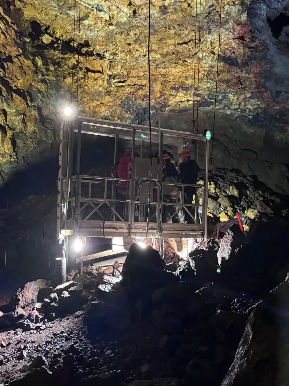
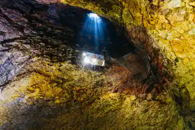
- A lift takes you down 120 meters (400 feet), the ride taking about 6 minutes[2]. The chamber floor below measures 50 by 70 m[3].
- Visitors spend approximately 35 to 45 minutes inside the volcano, including the descent, time on the chamber floor, and the ascent[4].
- You cannot visit Thrihnukagigur independently. The only ways to reach the volcano base are the guided tour hike or a helicopter tour[1].
- The tour operates every year from May 5th to October 30th[1]. The rim view is a summer and early autumn pleasure.
- Top choice Thrihnukagigur Day Trip from US$432 Duration4 to 6 hours[5]GuideEnglish and Icelandic[5]What you seeCrater rim, lava field, magma chamberCancellationFree up to 24 hours[5]Rating4.85 from 630 reviews[5] Check availability
- Raufarhólshellir by Bus from US$153 Duration3 hours[6]GuideEnglish[6]What you seeRaufarhólshellir lava tunnelCancellationFree up to 24 hours[6]Rating4.59 from 850 reviews[6] See this tour
- Reykjanes Hike from US$132 Duration9 hours[7]GuideEnglish[7]What you seeEruption site, Reykjanes ridges and hot springsCancellationFree up to 24 hours[7]Rating4.65 from 1,154 reviews[7] See this tour
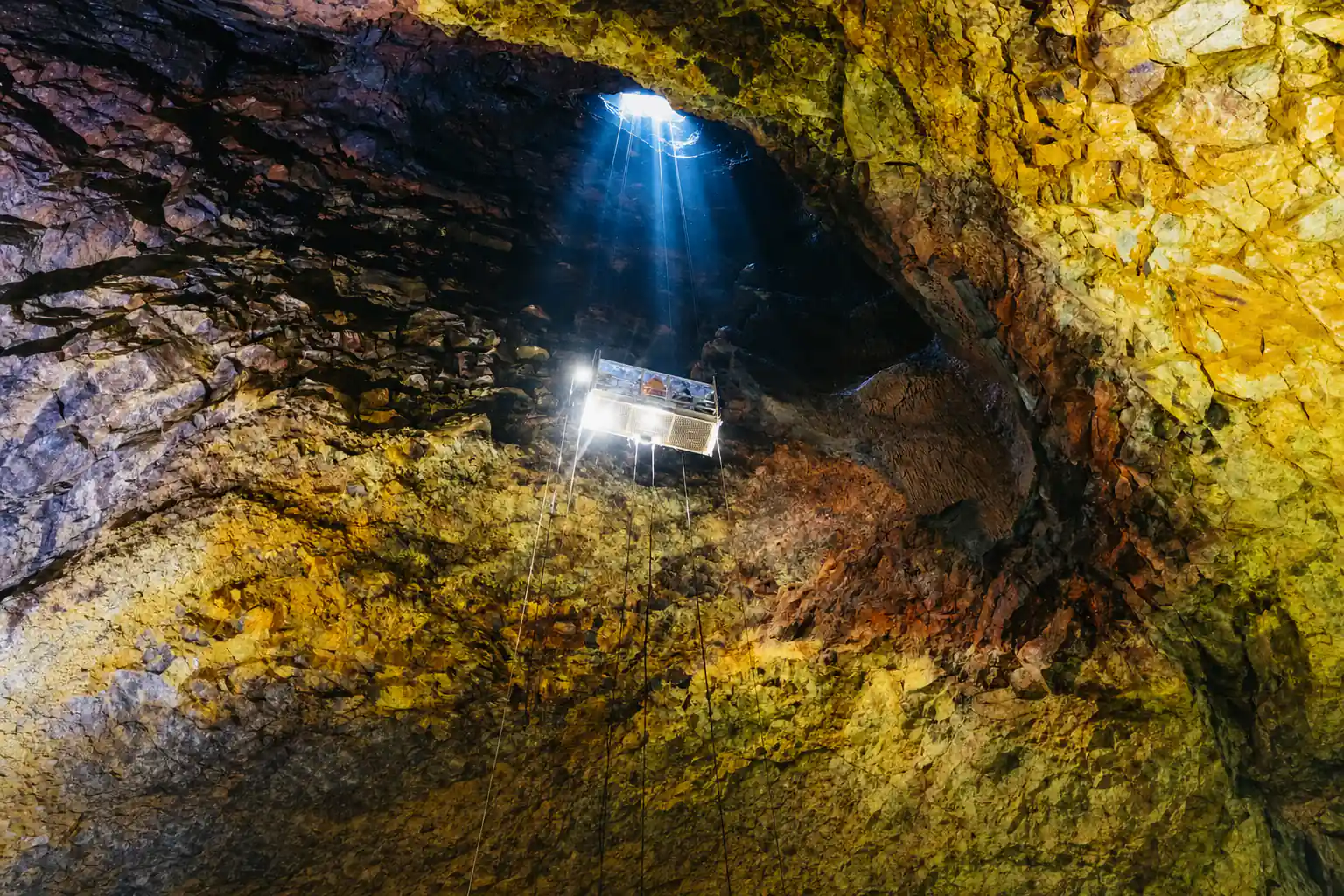
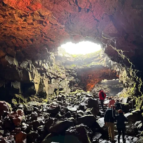
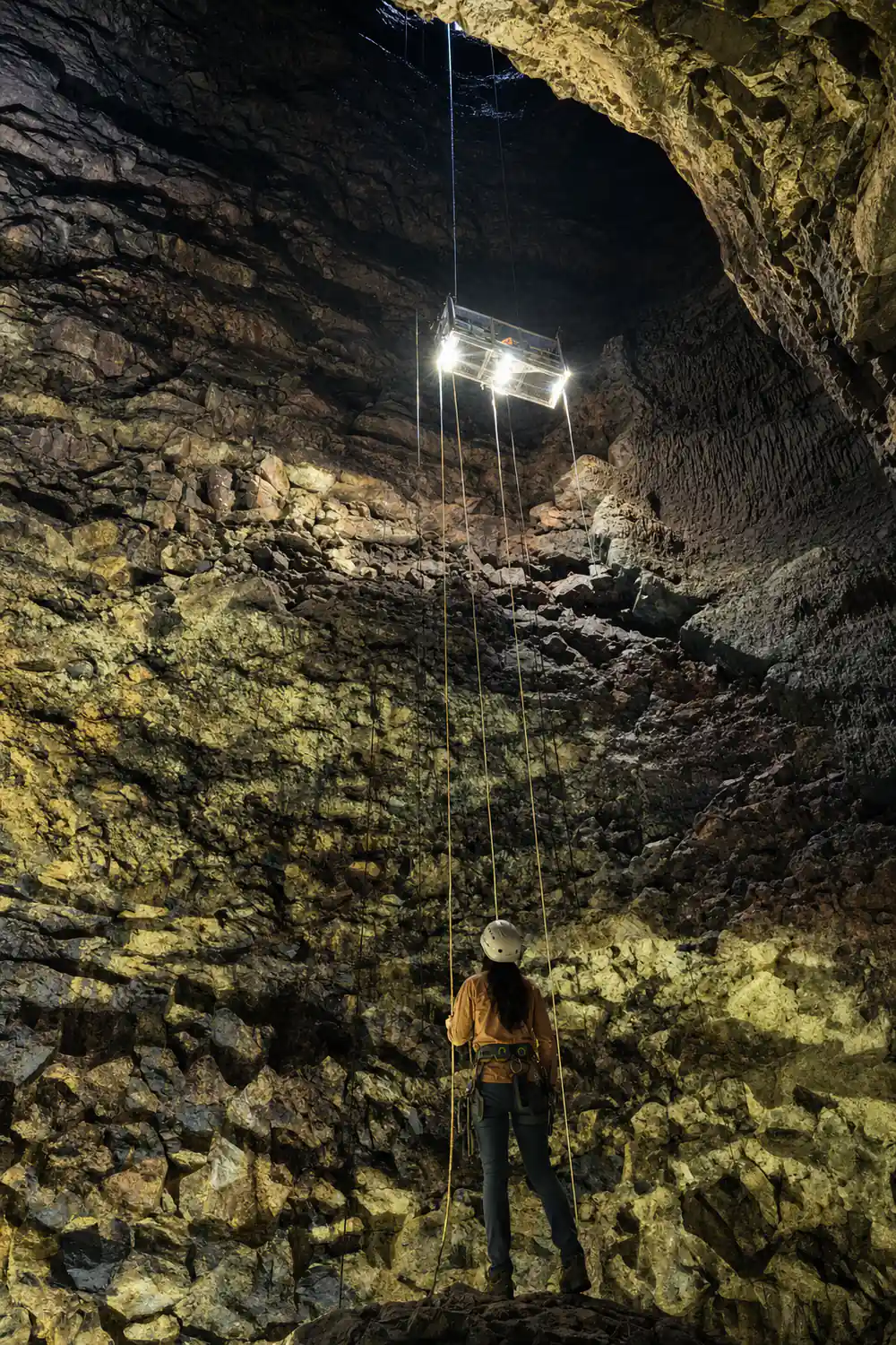
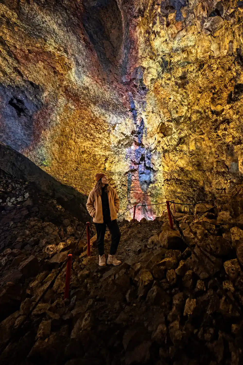
Once you’re inside the volcano, you’ll see the mesmerizing colors on the walls. They’re the minerals deposit left by the last eruption.
Why the rim is worth the walk
Before setting off
What is actually out there
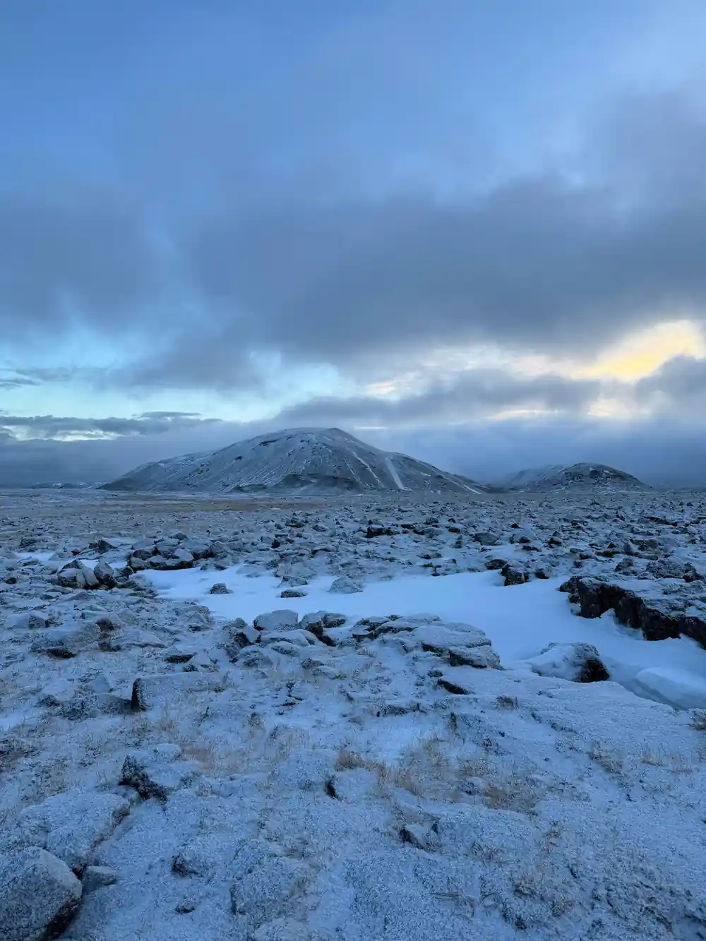
The view from the rim of Thrihnukagigur crater is the reward after a walk that never feels like work. The path to the volcano is about 3 km (2 miles) each way and usually takes about 45 minutes to cover with your guide[1]. You cross a black and mossy lava field, then climb gently until the ground ahead drops away.
What you see from the edge is a funnel-shaped opening, the top of a huge bottle-shaped volcanic vault about 120 m (400 ft) deep[3]. It is hard to believe the ground opens like this. The last eruption, which took place about 4,500 years ago, left behind this strange three-peak crater[3].
The rim is broad enough to move along and find your own angle. You can look down into the dark mouth, or turn and watch the light move across the lava field behind you. It is a view you want to arrive at slowly.
The mountains with flat tops
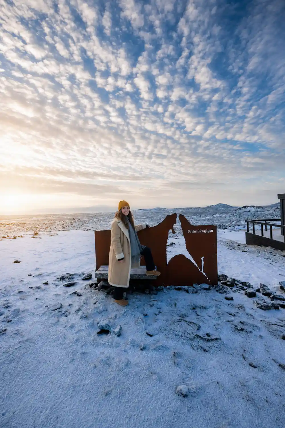
Beyond the crater, the horizon is full of flat-topped mountains. The Bláfjöll area takes its name from the blue tones of the ridges, and on a clear day the scene runs all the way to the sea. The walk to the volcano is one of only two ways of getting to the base, the other being a helicopter[1].
These flat-topped mountains are old lava platforms, their shapes softened by moss and weather. They give the view a calm rhythm, and the crater sits among them like a sudden puncture. The meeting point is at a ski cabin in Bláfjöll, about a 30-minute drive from Reykjavík on paved road[8]. From there the path climbs through this quiet landscape.
The flat tops also make a useful compass. When the cloud lifts, their even silhouettes tell you where the horizon is, and the crater sits in a bowl of volcanic country that feels older than the rest of Iceland. The lava field around the path is wrinkled and glossy in places, with moss filling the cracks.
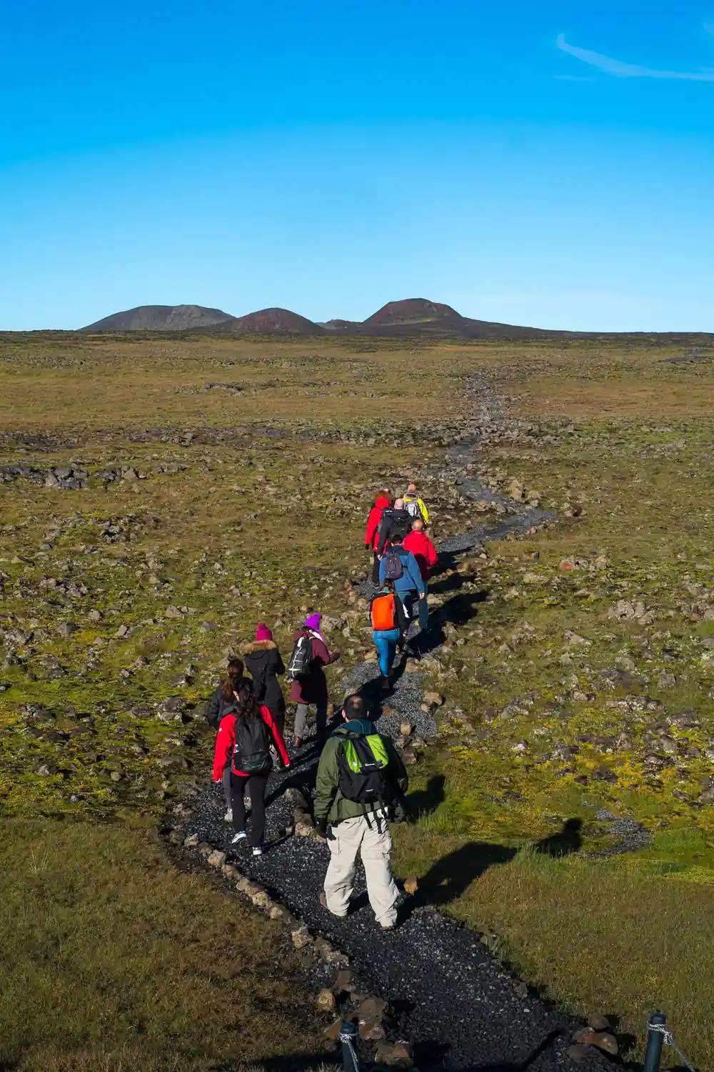
Standing on the rim of Thrihnukagigur crater, looking across the lava field and the flat-topped mountains.
How often you actually get it
A clear view from the rim depends on Icelandic weather, and the forecast can change in the time it takes to lace your boots. The tour operates from May 5th to October 30th every year[1]. You are planning around a shortish season rather than a guarantee of blue skies.
The crater is a hole in the ground. The view of the chamber mouth does not need a clear sky to be dramatic. Rain and wind can make the lava field feel more alive, and the path stays straightforward. If you want the long view over the flat tops, you simply allow a little flexibility in your day.
Do not let a cloudy forecast put you off. The hike is about 3 km each way[1], and the view of the chamber mouth is the main event, not the distant panorama. Even if the flat tops stay hidden, the walk through the lava field and the sudden opening at the rim are enough to make the day feel complete.
The fog, which is worth having
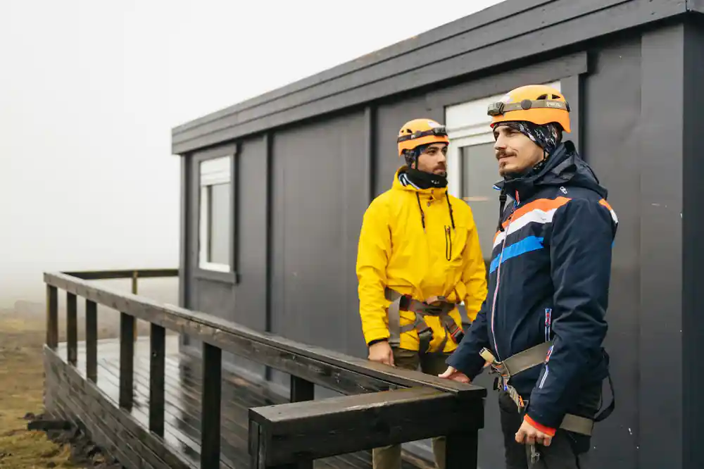
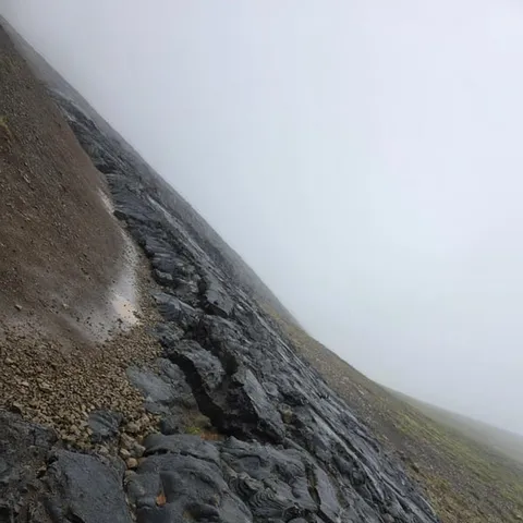
Fog is not a failure on this tour. When low cloud drifts through the lava field, the flat-topped mountains disappear and the crater rim becomes its own world. The moss glows, the rocks darken, and the drop into the chamber feels even more sudden.
Inside the volcano, fog does not matter at all. The walls of Thrihnukagigur's magma chamber get their colours from mineral deposits left by the last eruption[2]. If anything, a damp morning makes the green of the lava field richer and the black rock shinier.
There is a particular hush when fog sits in the crater. The sound of the group drops away, the colours of the rock become deeper, and the sense of being inside a real volcano grows stronger. If you have flexible plans, a misty morning is not a reason to cancel; it is a different kind of view.
from US$432
From the GetYourGuide listing for the Thrihnukagigur guided hiking day trip[5].
When the odds are best
There is no way to guarantee a clear rim, but the season gives you the practical frame. The Inside the Volcano tour operates from May 5th to October 30th every year[1]. Within that window, the long daylight of early summer makes it easier to find a slot that fits the weather.
The guided day trip has live guides in English and Icelandic, and pickup is available from Reykjavik[5]. The duration is 4 to 6 hours[5], and a morning start leaves the afternoon for other plans if the sky stays stubborn. The hike is about 3 km each way[1]. The rim stays within reach even in changeable conditions.
If you want the widest views, aim for a morning with high cloud and a breeze, as those conditions often clear the lava field. The tour runs from May 5th to October 30th[1]. Early summer gives you the most daylight to play with. Booking a flexible day with free cancellation up to 24 hours in advance also helps you move plans if the forecast turns[5].
Inside the crater
The rim is only half the story. The descent into Thrihnukagigur is 120 meters (400 feet), and the lift ride takes about 6 minutes[2]. At the bottom you stand in a space that measures 50 by 70 m[3], with walls coloured by mineral deposits from the last eruption[2].
Visitors spend approximately 35 to 45 minutes inside the volcano, including the descent, time on the chamber floor, and the ascent[4]. The lift is calm and steady, and the chamber floor is open enough to wander. The empty space was created because a deep underground rift drained the molten rock, leaving behind an enormous subterranean cavity[3].
The chamber floor is wide enough that you never feel crowded. Its scale is hard to grasp from the rim; you need to stand on the floor and look up. The lift makes the return easy, and the whole time inside the volcano sits at approximately 35 to 45 minutes including the descent and ascent[4].
Getting there and practicalities
You cannot wander up to Thrihnukagigur on your own. The only ways to get to the volcano base are the guided tour hike or a helicopter tour[1]. The day trip is the straightforward way, with pickup from Reykjavik, a live guide in English and Icelandic, and a duration of 4 to 6 hours[5].
The minimum age for the tour is 8 years old[4]. The meeting point is a ski cabin in Bláfjöll, about a 30-minute drive from Reykjavík on paved road[8]. You can reserve now and pay later, and free cancellation is available up to 24 hours in advance[5].
The tour is priced from US$432[5], with reserve now and pay later options and free cancellation up to 24 hours in advance[5]. That gives you room to book ahead for the season and decide closer to the day. The tour only runs from May 5th to October 30th[1]. The calendar, not the weather, is the first thing to respect.
Inside the volcano, in metres
Values from Arctic Adventures and InsideTheVolcano.com[2][3].
Compare tour prices
From-prices: GetYourGuide[5][7]
When to book the view
How the day runs
Meet and ride
Pickup is available from Reykjavik[5]. The meeting point is a Bláfjöll ski cabin, about a 30-minute drive away[8].
Hike the lava field
The path to the volcano is about 3 km each way and usually takes about 45 minutes[1]. Cross the lava field until the rim opens at your feet.
Stand on the rim
Take in the view of the flat-topped mountains and the funnel-shaped entrance[3]. The descent is 120 meters (400 feet) and the lift takes about 6 minutes[2].
Explore the chamber
Visitors spend approximately 35 to 45 minutes inside the volcano, including the chamber floor and the ascent[4]. The walls show mineral colours from the last eruption[2].
Hike back
After the lift returns you to the surface, follow the path back across the lava field[1]. The full tour lasts 4 to 6 hours[5].
Stand on the rim and look into a volcano
from US$432Reserve now & pay later